Items Similar to Original Antique Map of The United States of America, circa 1890


Want more images or videos?
Request additional images or videos from the seller
1 of 5
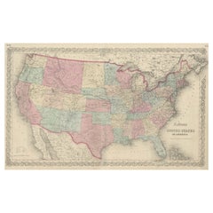
Original Antique Map of The United States of America, circa 1890
About the Item
Great map of the USA
By The Stanford's Geographical Establishment
Original colour
Unframed.
- Dimensions:Height: 11 in (27.94 cm)Width: 25 in (63.5 cm)Depth: 0.07 in (1.78 mm)
- Style:Victorian (Of the Period)
- Materials and Techniques:Paper,Other
- Place of Origin:
- Period:
- Date of Manufacture:1890
- Condition:Wear consistent with age and use.
- Seller Location:St Annes, GB
- Reference Number:1stDibs: LU1836332996342
About the Seller
4.9
Platinum Seller
These expertly vetted sellers are 1stDibs' most experienced sellers and are rated highest by our customers.
1stDibs seller since 2016
2,662 sales on 1stDibs
Typical response time: 1 hour
Associations
International Confederation of Art and Antique Dealers' Associations
- ShippingRetrieving quote...Ships From: St Annes, United Kingdom
- Return PolicyA return for this item may be initiated within 3 days of delivery.
Auctions on 1stDibs
Our timed auctions are an opportunity to bid on extraordinary design. We do not charge a Buyer's Premium and shipping is facilitated by 1stDibs and/or the seller. Plus, all auction purchases are covered by our comprehensive Buyer Protection. Learn More
More From This SellerView All
- Large Original Antique Map of the United States of America. 1891By Rand McNally & Co.Located in St Annes, LancashireFabulous map of The United States Original color By Rand, McNally & Co. Dated 1891 Unframed Free shipping.Category
Antique 1890s American Maps
MaterialsPaper
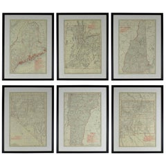
- Set of 6 Original Vintage Maps of American States, circa 1900Located in St Annes, LancashireWonderful set of 6 vintage maps. Random American states including Maine, Utah, New Hampshire, Nevada, Vermont and New Mexico. Monochrome with red color outline. Published by Rand,...Category
Antique Early 1900s American Edwardian Decorative Art
MaterialsPaper
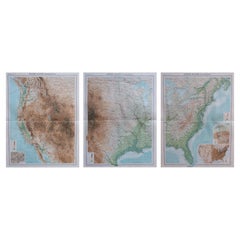
- Large Vintage Maps of the United States, in 3 Sections, 1920Located in St Annes, LancashireGreat maps of the USA in 3 sections Unframed Original color By John Bartholomew and Co. Edinburgh Geographical Institute Published, circa 1920 The measurements given is for just...Category
Vintage 1920s British Maps
MaterialsPaper
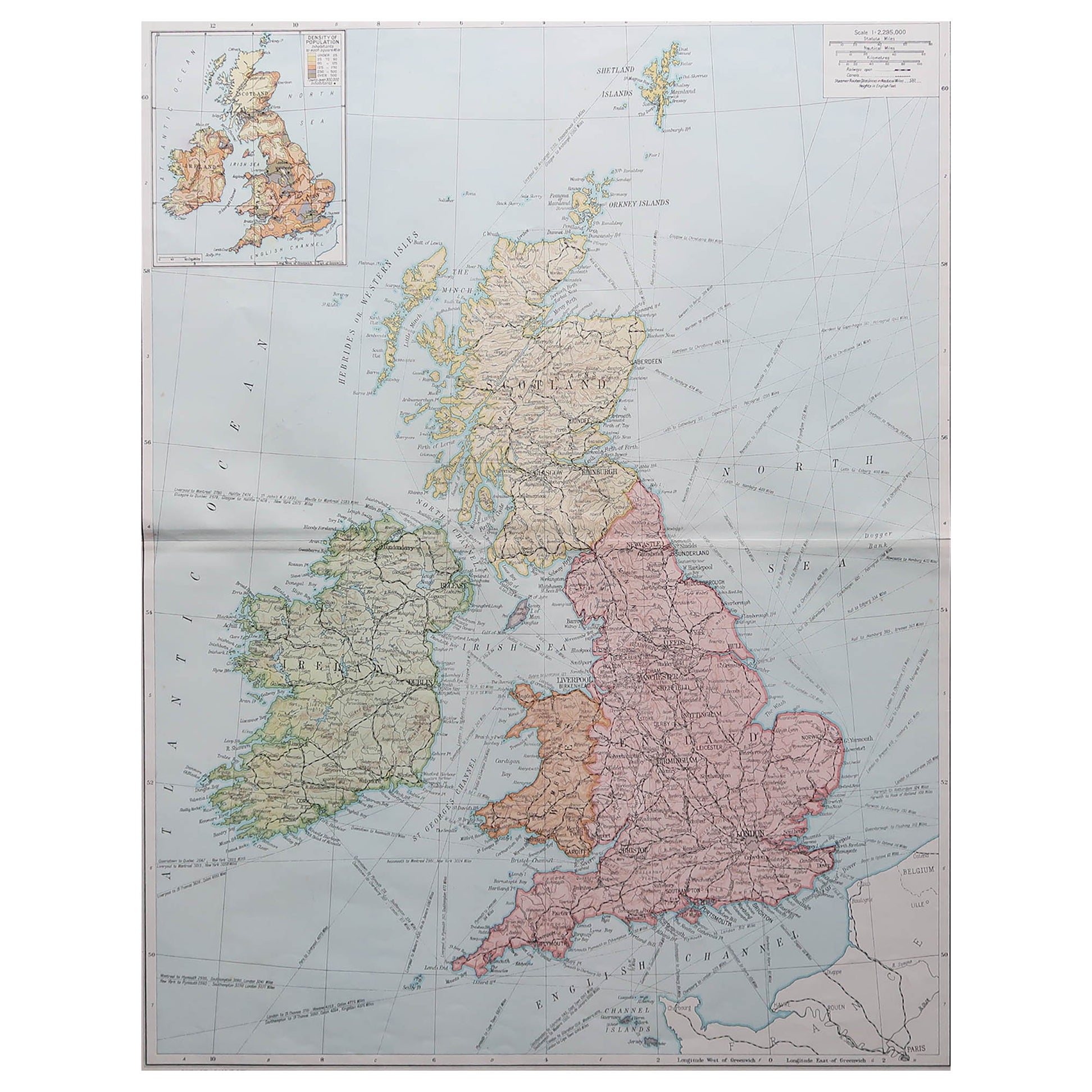
- Large Original Vintage Map of the United Kingdom, circa 1920Located in St Annes, LancashireGreat map of The United Kingdom Unframed Original color By John Bartholomew and Co. Edinburgh Geographical Institute Published, circa 1920 Free shipping.Category
Vintage 1920s British Maps
MaterialsPaper
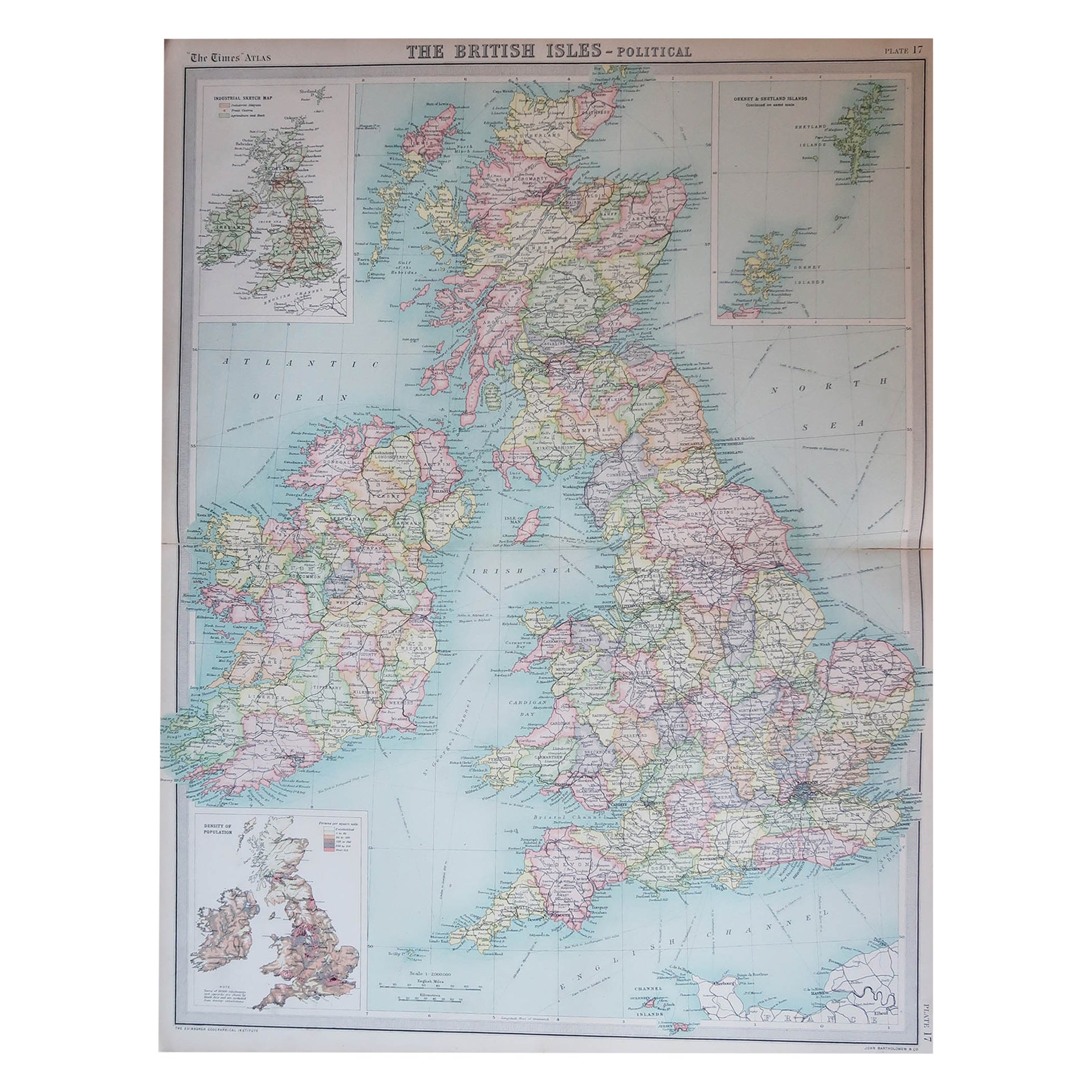
- Large Original Vintage Map of The United Kingdom, circa 1920Located in St Annes, LancashireGreat map of The United Kingdom Original color. Published by Alexander Gross Unframed.Category
Vintage 1920s English Maps
MaterialsPaper
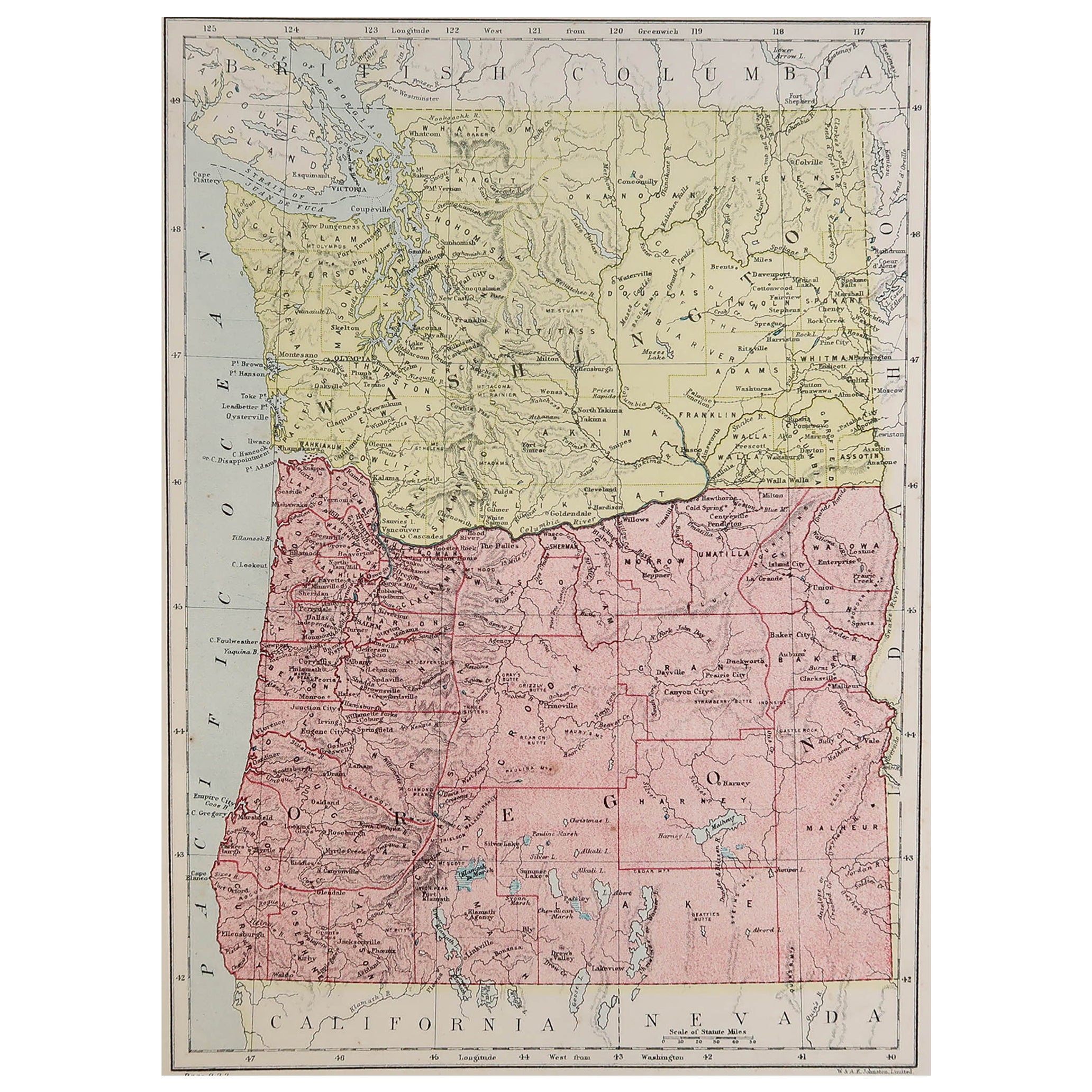
- Original Antique Map of the American State of Washington, 1889Located in St Annes, LancashireGreat map of Washington Drawn and Engraved by W. & A.K. Johnston Published By A & C Black, Edinburgh. Original colour Unframed.Category
Antique 1880s Scottish Victorian Maps
MaterialsPaper


You May Also Like
- Antique Map Colton's United States of AmericaLocated in Langweer, NLAntique map titled 'Colton's United States of America'. Show railroads, canals, state capitals, major cities and towns, military posts, historic trails, Pony Express and U.S. mail routes; Dakota [Territory] extending deep into Nebraska, and Idaho [Territory] encompassing [modern day] Montana and Wyoming; Indian Territory...Category
Antique Mid-19th Century Maps
MaterialsPaper
- Antique Map of The United States of North America, Pacific States, 1882Located in Langweer, NLThe map is from the same 1882 Blackie Atlas and focuses on the Pacific States of the United States of America during that period. Here are some details and historical context about t...Category
Antique 1880s Maps
MaterialsPaper
- Original Antique Hand-colored Map of the United States, circa 1845Located in Langweer, NLAntique map titled 'United States'. Old map of the United States, includes the last part of the North West Territory (present day Wisconsin and part of Minnesota). It also marks Ft. Crawford at the confluence of the Mississippi River and the Ouisconsin River (present day Wisconsin River). Published by Orr & Company; Amen Corner...Category
Antique Mid-19th Century Maps
MaterialsPaper
- Antique Map of the United States of North America, c.1882Located in Langweer, NLAntique map titled 'United States of North America'. Old map of the United States of North America. This map originates from 'The Royal Atlas of Modern Geography, Exhibiting, in a Se...Category
Antique 1880s Maps
MaterialsPaper
- Antique Map of The United States of North America, 1882Located in Langweer, NLThis is a historical map titled "The United States of North America, Central Part" from the 1882 Blackie Atlas. It depicts the continental United States with a high level of detail, ...Category
Antique 1880s Maps
MaterialsPaper
- Antique Map of the United States of America by Lapie '1842'Located in Langweer, NLAntique map titled 'Carte des États-Unis d'Amérique'. Map of the United States of America (USA). This map originates from 'Atlas universel...Category
Antique Mid-19th Century Maps
MaterialsPaper


Recently Viewed
View AllMore Ways To Browse
Stanford Furniture
Stanford Antique Furniture
Victorian Staircase
Antique Great Lakes Map
Antique Map Chile
Antique Map Of Jerusalem
Burgundy Map
Macedonia Map
Map Of Hungary
Maps Of Ireland 18th Century
Oceanic Wood Carving
Wood Carving Ocean
Afghanistan Map
Antique Map Of Boston
Antique Map Of Turkish Empire
Antique Maps Of Ancient Greece
Antique Maps Of Boston
Antique Texas Map